Sources of weather and climate data
-

On April 1, 1960, the world’s first operational weather satellite was launched into space. It opened a new world of information to meteorologists since it could see the weather in areas where there were no surface observations, such as over the oceans and the poles. Now the vast majority of weather observations input into forecasting…
-

At our UGA cotton field day today, someone mentioned to me that they are having trouble doing degree day calculations that depend on specific bases for different crops, diseases, or insect development. You can see a list of bases for a variety of crops from the Midwestern Regional Climate Center here. But it is not…
-
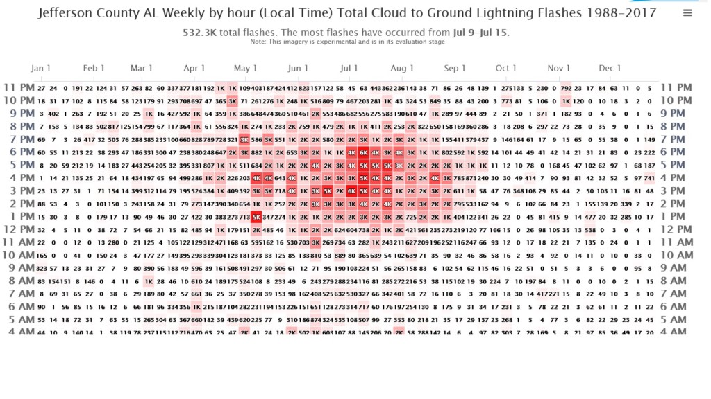
Here is an interesting product that I found online when doing a search for a climatology of lightning strikes. It is an experimental product from the Medford OR National Weather Service office and was developed to help with lightning-initiated wildfires. It shows a count or frequency table of lightning strikes by county, hour of day,…
Posted in: Sources of weather and climate data -

The US Geological Survey has a great dashboard for looking at a variety of surface water and groundwater information as well as rainfall and some atmospheric parameters. You can view the dashboard at https://dashboard.waterdata.usgs.gov/app/nwd/?aoi=default. I think it even has a tutorial available somewhere on the website, although I have not used it. In the streamflow…
-

I use the Midwestern Regional Climate Center’s website every week to obtain climate information for data requests I get or studies I am working on. This week the MRCC moved from Champaign IL to Purdue IN. It now has a new website at https://mrcc.purdue.edu. To use their CLI-MATE software, you do need to create a…
Posted in: Sources of weather and climate data -
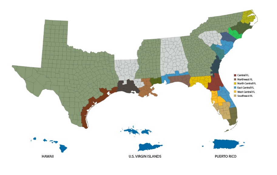
If you are in a coastal county and are likely to be threatened by extreme weather related to coastal storms, you might find these information sheets to be useful. They contain phone numbers, links, and other information for use in emergency situations, particularly tropical storms and hurricanes. You can find the map of available counties…
-
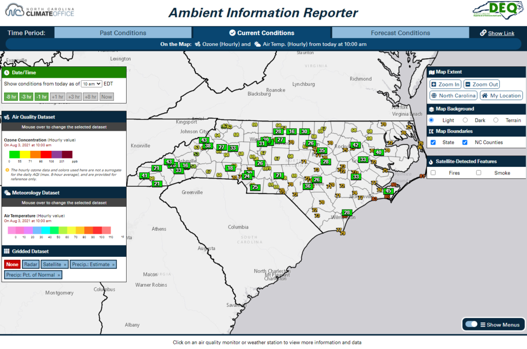
If you are interested in air quality information and weather data in North Carolina, this new website might be of use to you. The Ambient Information Reporter, or AIR, tool combines a wealth of statewide weather observations from the North Carolina ECONet and National Weather Service with air quality monitors and forecasts from the NCDAQ,…