I’ve seen a couple of interesting stories on groundwater today that I thought I would pass along. One is on the continuing crisis in the groundwater levels in California due to a combination of drought and extensive pumping, mostly by agricultural producers. You can read that story from the New York Times here. The story discusses changes that land surfaces and water tables have seen in response to the groundwater use and points out that future agricultural production in California depends on their willingness to monitor and protect their valuable groundwater resources for use in future droughts.
A separate story on the Ogallala Aquifer was posted in the “Communicating Science through Art” blog. In this story, the author points out how the aquifer levels in the Panhandle of Texas have fallen due to pivot irrigation using a series of map images. The article points out that the aquifer in that area is not likely to be recharged due to the clay layer in wetlands in the area, which may lead to permanent abandonment of irrigated agriculture in the area, but also points out that other regions covering the Ogallala Aquifer are not constrained by the same geology and may not suffer the same fate.
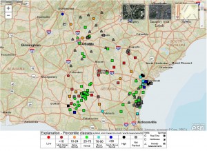
In the Southeast, we are in better condition in most areas, although groundwater is reduced in some areas. You can get groundwater information from the US Geological Survey. Here is the link to the Georgia data: https://groundwaterwatch.usgs.gov/statemap.asp?sc=13&sa=GA. You should be able to get to other states’ data by changing the two-letter state name in the link.
